


Measuring geographic centrality
In this exercise, all three tools will be used to obtain descriptive spatial statistics about crime data for the city of Denver.
Preparation
Let's get prepared for obtaining spatial statistical information about a dataset using ArcGIS, as follows:
- In
ArcMap, open theC:GeospatialTrainingSpatialStatsDenverCrime.mxdfile. You should see a point feature class calledCrime, as shown in the following screenshot:
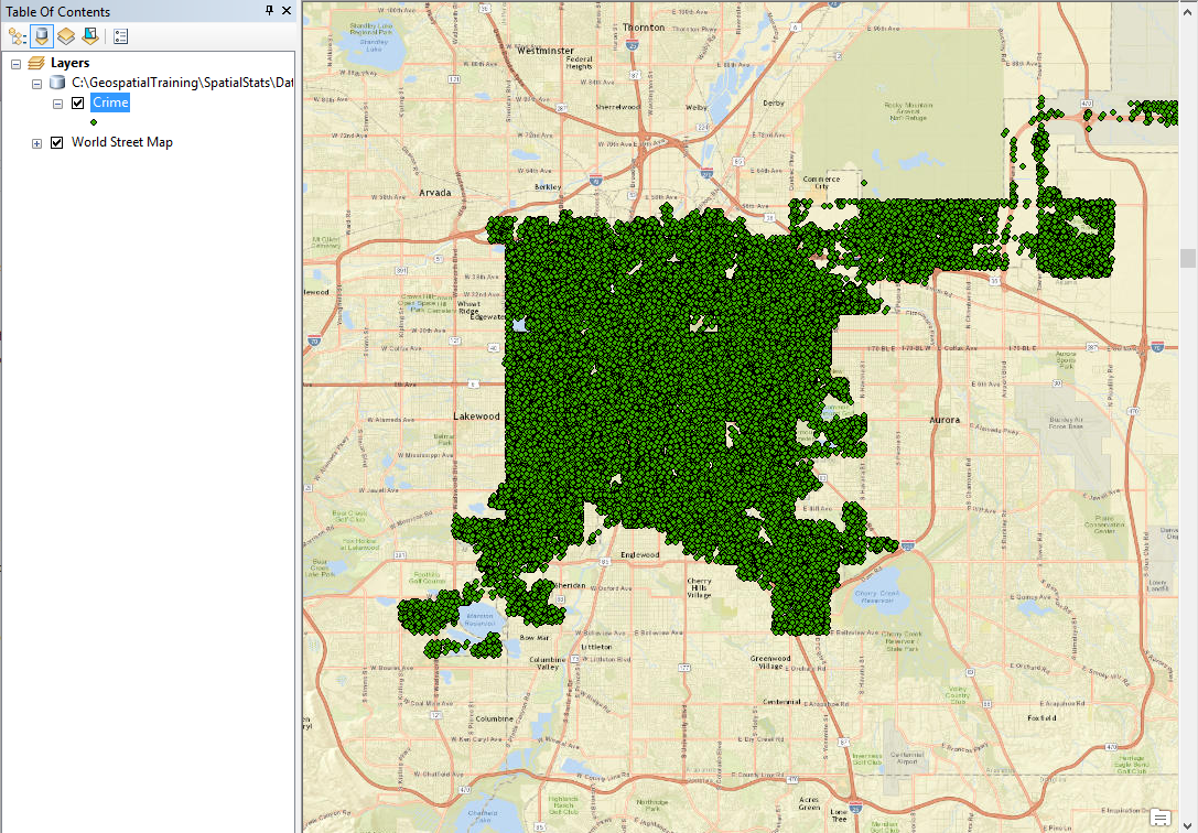
Point locations for all crimes for the city of Denver 2013
- The
Crimefeature class contains point locations for all crimes for the city of Denver in 2013. The first thing we need to do is isolate a type of crime for our analysis. Open the attribute table for the crime feature class.
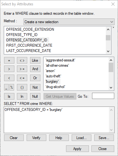
- Use the
Select by Attributes...tool to select all records where theOFFENSE_CATEGORY_ID ='burglary'method, as shown in the following screenshot. This will select 25,743 burglaries from the dataset. These are burglaries within the city limits of Denver in 2013:
- Close the attribute...


